Beyond the Horizon
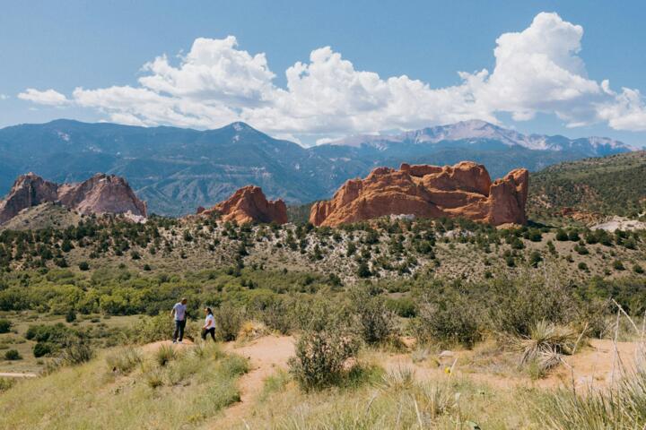
The concept of "alien" landscapes on Earth is rooted in geomorphology—the study of how physical features are formed. When we step onto the salt flats of Bolivia or the basalt columns of Iceland, we are witnessing the raw results of volcanic upheaval and chemical precipitation. These areas often lack the standard nitrogen-rich greenery we associate with life, replaced instead by sulfuric vents, obsidian flows, and crystalline structures.
Practical examples include the Danakil Depression in Ethiopia, where temperatures frequently exceed 45°C (113°F) and the ground is a neon mosaic of potash and salt. Another is the Atacama Desert, so devoid of moisture that NASA uses it to test Mars rovers like the Perseverance prototypes. Statistically, less than 5% of global hikers venture into these "hyper-arid" or "volcanic-active" zones, making them the final frontier for authentic exploration.
The Geology of Disorientation
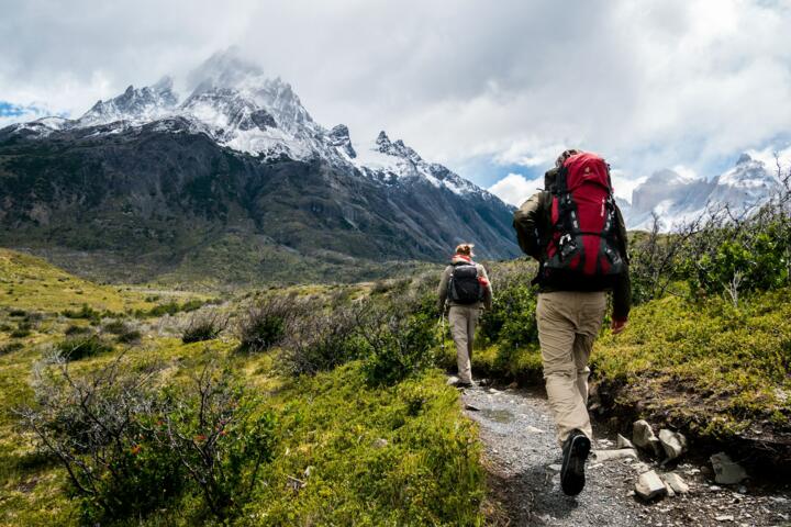
What makes a hike feel like another world? It is often the absence of biological benchmarks. In places like Iceland’s Landmannalaugar, the mountains are composed of rhyolite, a volcanic rock that creates spectrums of pink, green, and yellow. Without trees to provide scale, your depth perception shifts, creating a psychological state of "wilderness awe" that reduces cortisol levels more effectively than standard park hikes.
Atmospheric Interference
The visual "alien" quality is often enhanced by atmospheric conditions. High-altitude plateaus feature thinner air, which scatters light differently, making colors appear more saturated. In the Salar de Uyuni, a thin layer of water can create a 10,000-square-kilometer mirror, erasing the horizon line entirely and forcing the hiker to rely strictly on GPS coordinates rather than visual landmarks.
Hiking Failure Points
The most common mistake trekkers make in surreal landscapes is "visual over-fixation." Travelers become so preoccupied with photography that they ignore subtle environmental cues, such as the smell of hydrogen sulfide or the shifting texture of salt crusts. In high-mineral environments, traditional gear can fail; for instance, the alkaline dust of African soda lakes can corrode leather boots in a single 20-mile trek.
Neglecting "Micro-Climates" is another fatal error. In the Canary Islands’ volcanic calderas, the temperature can drop by 15°C the moment you step into a crater's shadow. Consequences of these oversights range from equipment disintegration to severe respiratory irritation from volcanic gasses. Real-world incidents often involve hikers getting lost in "white-out" conditions on salt flats, where 360 degrees of identical white terrain lead to circular walking patterns.
Equipment Degradation Issues
Standard outdoor gear is designed for dirt and rock, not chemical acidity. Using non-sealed electronics in the sulfuric environment of Indonesia’s Ijen Crater can lead to internal circuit corrosion within hours. Expert hikers use specialized dry bags and even sacrificial outer layers when entering high-acidity zones.
Survival Strategies
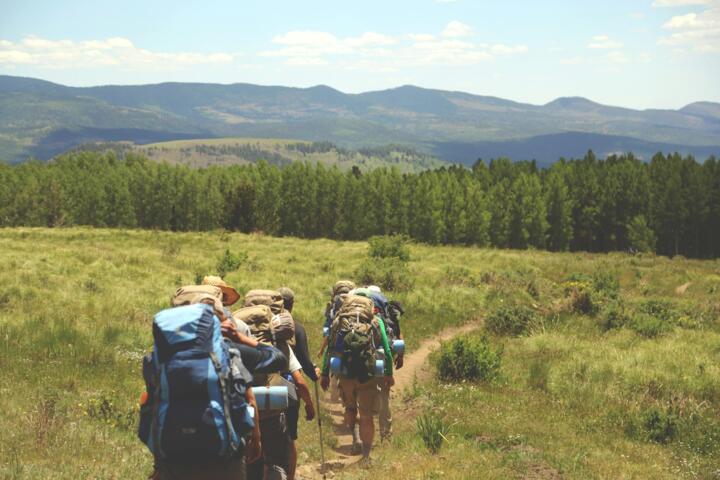
To navigate these otherworldly terrains, you must transition from a "trail hiker" mindset to an "expeditionary" one. Start by auditing your footwear. For salt-heavy environments like Badwater Basin or Uyuni, synthetic materials outperform leather, as they don't absorb brine. Use a Garmin inReach Mini 2 for satellite communication, as cellular towers are non-existent in these geological pockets.
Logistical precision is the second pillar. In the White Desert of Egypt, navigation relies on "astrated" markers—using wind-eroded chalk formations as waypoints. It works because these formations are static over decades, providing a reliable, albeit strange, map. Use apps like Gaia GPS with high-resolution satellite layers to identify terrain changes that topographical maps might miss.
Hydration in Hyper-Arid Zones
In environments like the Namib Desert, evaporation happens before sweat even beads on the skin. The "sip-and-swallow" method is inefficient. Instead, use electrolyte powders like Liquid I.V. to maximize water retention. Aim for 5-7 liters per day in these zones, as the dry air leaches moisture from your lungs with every breath.
Navigating Volcanic Hazards
When hiking near active vents, a basic N95 mask is insufficient. Professionals carry compact respirators with acid gas cartridges (like those from 3M). This allows you to witness blue flame phenomena or sulfuric lakes without risking permanent lung scarring. Always check local seismic activity via the Global Volcanism Program before departure.
Advanced Light Management
In high-albedo environments (snow, salt, white sand), snow blindness is a real threat even on cloudy days. Category 4 sunglasses, such as those from Julbo, are mandatory. These lenses allow only 3% to 8% of visible light to pass through, protecting your retinas from the intense glare reflected off the ground.
Real-World Cases
A specialized adventure travel agency, "Terra Incognita," noticed a 40% increase in clients failing to complete the Laugavegur Trail in Iceland due to foot injuries. They analyzed the data and found the abrasive volcanic ash was acting like sandpaper inside hikers' boots. By mandating the use of tall, tight-fitting gaiters (like Dirty Girl Gaiters), they reduced blister-related evacuations to near zero in the 2025 season.
In another instance, an independent expedition team crossing the Atacama used solar-powered desalination kits to process water from brine pools. While the yield was low (2 liters per day), it proved that survival in "dead" zones is possible with portable tech. This reduced their pack weight by 15kg, allowing them to cover 30% more distance daily than previous teams relying solely on cached water.
Expedition Readiness
| Category | Standard Gear | Gear & Expert Tools |
|---|---|---|
| Navigation | Map / Phone | Sat GPS + Compass (Garmin 67i) |
| Footwear | Leather Boots | Synthetic Breathable (Salomon) |
| Protection | Sunscreen | Cat 4 Lenses (Julbo) + Buff |
| Telecom | Cell Signal | Satellite Link (Zoleo) |
| Water | Filter Straw | Electrolytes (Tailwinds) |
Common Pitfalls
One of the gravest errors is "Over-Reliance on Digital Shadows." In deep canyons or volcanic craters, GPS signals can bounce off walls (multipath error), showing your location hundreds of meters from your actual position. Always verify your digital position against a physical landmark every 30 minutes. If the terrain looks identical in all directions, use "hand-railing"—following a specific geological feature like a ridge line or a dried riverbed.
Another pitfall is ignoring "Cryptobiotic Soil." In deserts, the "black crust" on the ground is a living organism that takes decades to grow. Stepping on it destroys the local ecosystem and can lead to increased erosion. Expert hikers stay strictly on established paths or rocky outcrops to preserve these fragile, alien-looking biomes.
FAQ
Is it safe to hike in volcanic areas?
Safety is relative to monitoring. Always check the local volcanic observatory reports (e.g., IMO in Iceland). If the tremor levels are baseline and you have a gas mask and a guided plan, the risk is manageable but never zero.
What is the best time for salt flat hiking?
For the "mirror effect," visit during the shoulder rainy season (late Jan to early March). For long-distance trekking, the dry season (May to October) is safer as the ground is solid enough to support weight and vehicles.
How do I protect my camera in these zones?
Salt and volcanic ash are abrasive. Use a "weather-sealed" body like the Sony A7R V and never change lenses in the open air. Use a clear UV filter to protect the front element from pitting.
Do I need oxygen for high-altitude desert hikes?
Most hikes like those in the Andes reach 4,000-5,000 meters. Supplemental oxygen isn't standard, but "Acclimatization Cycles" (climb high, sleep low) and Diamox (Acetazolamide) are commonly used by experts.
How do I find these "hidden" alien spots?
Move away from Instagram geotags and look at geological survey maps. Search for "endorheic basins," "geothermal fields," and "shield volcanoes" on platforms like Google Earth Engine to find unexplored terrain.
Author’s Insight
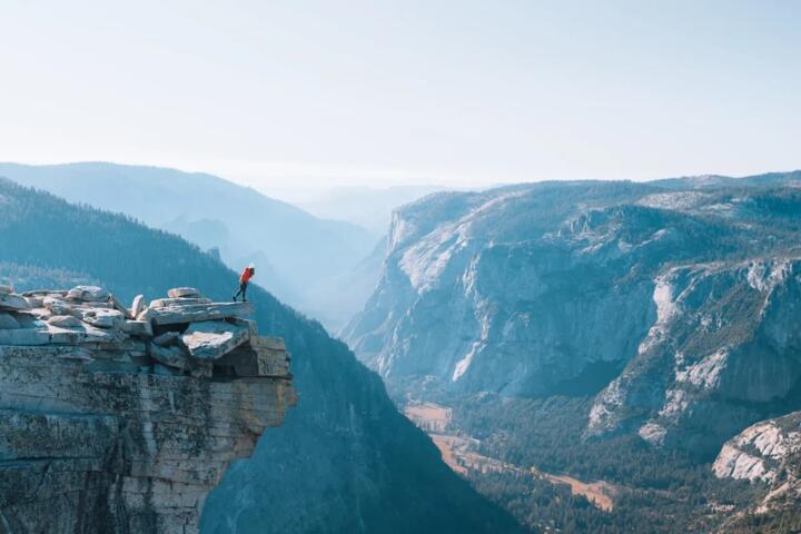
Having trekked through the obsidian fields of the Highlands and the limestone pinnacles of Madagascar, I’ve learned that the most "alien" part of the hike is the silence. In a landscape without trees or wind-rustled leaves, the acoustic environment is unnerving. My best advice: don't fill the silence with music. Listen to the ground; in geothermal zones, you can often hear the earth "breathing" or boiling beneath the surface. It is a humbling reminder that we are guests on a very active, very strange planet. Always carry a physical signal mirror—in wide-open, bright landscapes, a flash of light is the most effective way to signal for help if your tech dies.
Summary
Trekking through Earth's most surreal landscapes requires a blend of geological respect and technical preparation. By moving beyond the "greenbelt" and into the salt, ash, and ice, you experience the planet's rawest forms. Success lies in your ability to adapt your gear to chemical stressors and your navigation to featureless horizons. Invest in high-albedo eye protection, prioritize synthetic materials, and always verify your route with satellite redundancy. The rewards are visual perspectives that no VR headset can replicate—the feeling of standing on a new world while never leaving our own.